
Exploring the world!
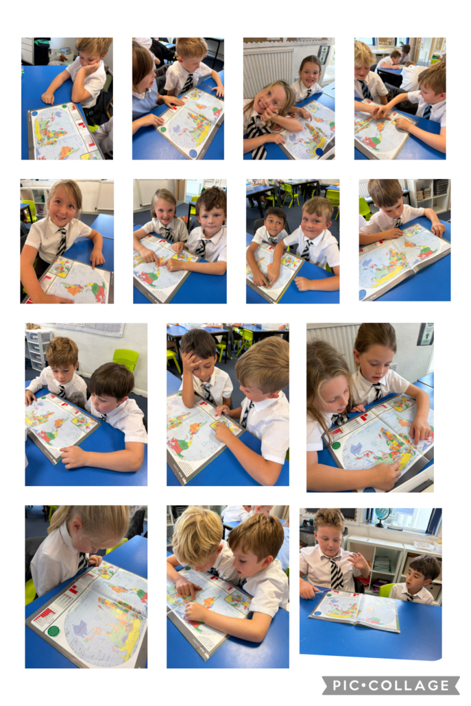
Year 3 have been using atlases in their Geography lessons to explore the world and develop their map-reading skills. The children have enjoyed locating different countries and continents, as well as finding the Equator and other lines of latitude on maps and globes. They learnt that the Equator is an imaginary line around the middle of the Earth and discovered that countries closer to it are usually warmer. Through their atlas work, the children have begun to understand how location can affect climate in different parts of the world. 🌍📖


